Map Layouts
Objectives:
Explore the cartographic functionality of ArcMap by producing a regional map showing
political/administrative boundaries, major/capital cities, lakes and rivers. Choose a region and
an appropriate projection, and add cartographic elements including a world location map.
Explore the cartographic functionality of ArcMap by producing a regional map showing
political/administrative boundaries, major/capital cities, lakes and rivers. Choose a region and
an appropriate projection, and add cartographic elements including a world location map.
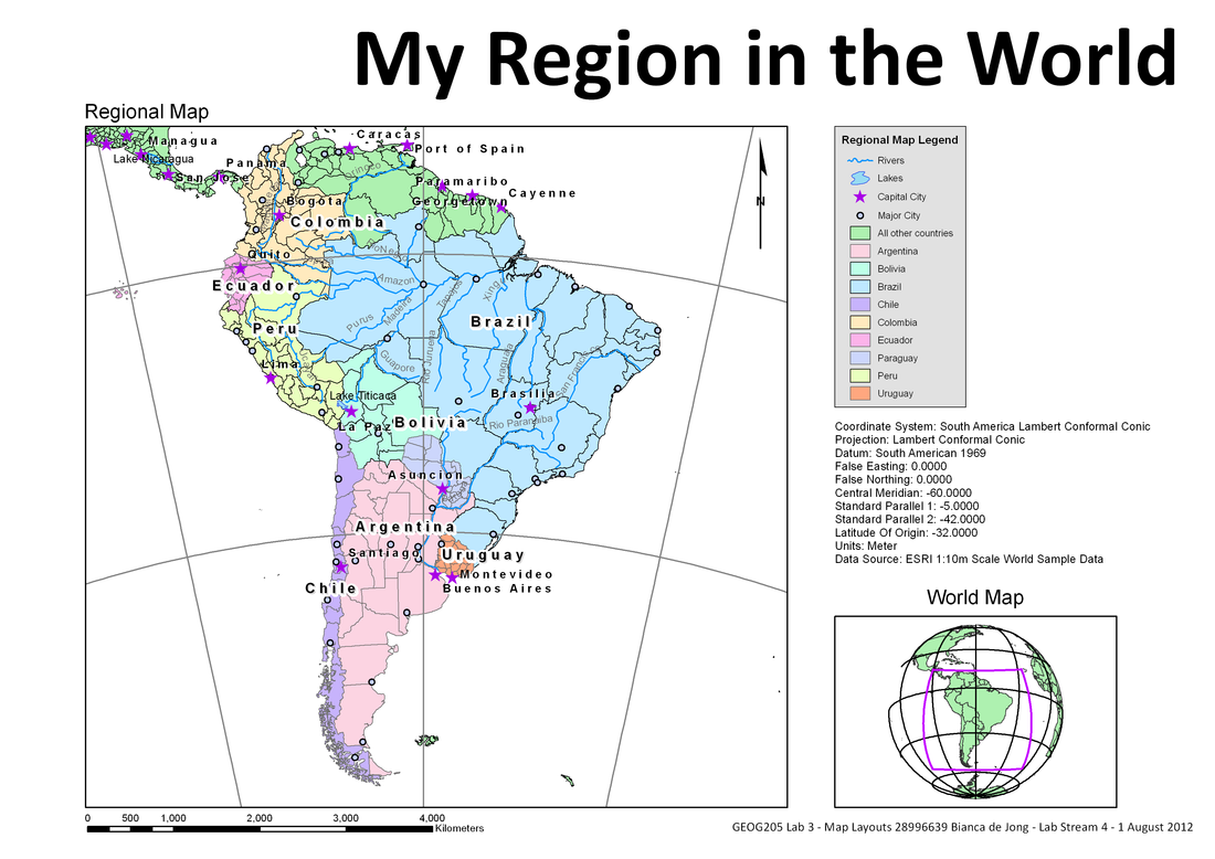
Figure 1
Symbology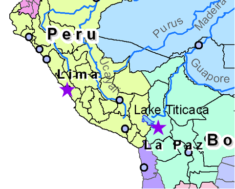 Figure 2
- I am able to select certain data, enclose it within a boundary and symbolise each section using using a colour ramp. - Differentiate important data using different symbols, sizes and colours using the map attributes to select one group of data at a time. - Use different style features that portray the written information clearly and in a way which is applicable to what is being represented, i.e. names of rivers follow the curve of the river and are represented as a squiggly line on the legend. This allows visual differentiation so the reader can distinguish which labels are associated with each feature. - Conversion of labels to annotations giving the ability to edit them separately. This is advantageous when wanting to move labels to suitable areas but has the disadvantage of breaking the link to the attribute table, so changing the information becomes more time consuming. |
Projection Selection Figure 3
The South America Lambert Conformal Conic projection was chosen to best represent the area with the least distortion.
Extent Rectangle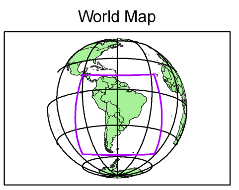 Figure 4
- I am able to add an extent rectangle to indicate specific locations
by fixing the projection to the central coordinate of the area of interest. - Use multiple data frames on one map. Cartographic Elements- Addition of scale bar, North arrow, legend and cartographic information.
- Ability to set out map in an effective, informative and clear mannner. |
