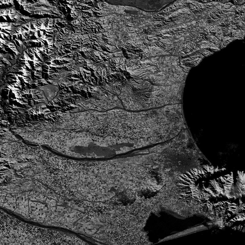
Landsat Imagery
Stacking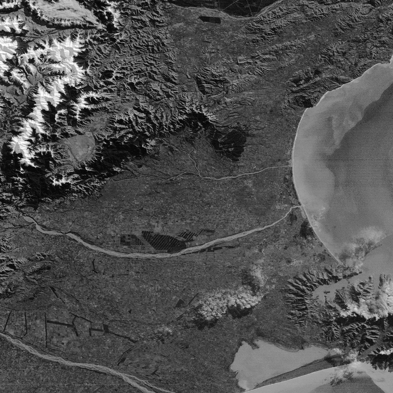
I am able to take several images and create an image stack. This skill is useful to display and analyse images related to each other either spectrally, spatially or temporally. Stacking allows the creation of natural and false colour views and can allow animation and measurement of data. (Eyes to the SkyII, 2011)
|
|
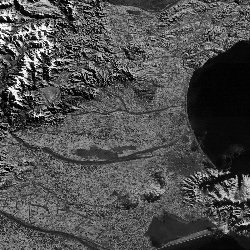
False Colour Infrared Composite
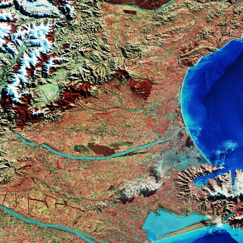
Using three images from the stack, one blue band, one green band and one near infrared band, I am able to create a colour image to represent features in each band.
In a false colour image, the true colour is sacrifised, for a clearer difference between features. In this image a colour shift scheme has been used to display the data.
Red = NIR band
Green = red band
Blue = green band
In this type of false colour composite images, vegetation is shown in different shades of red dependant on the types and conditions of the vegetation.
Clear water appears dark-bluish as it has a higher green band reflectance, and turbid water appears turquoise as it has higher red reflectance due to sediments (CRISP, 2001).
Clustering
Cluster different spatial signatures into a selected number of classes. Image a) shows 4 classes and image b) shows 15 classes. Use colour to effectively represent areas of similarity using the Brightness and Contrast function.
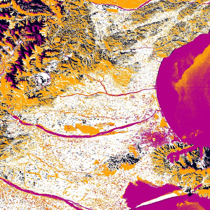
a) 4 Classes
|
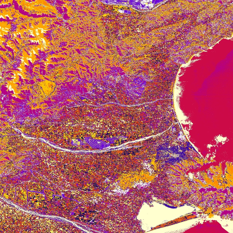
b) 15 Classes
|
